The Beaten Path is an iconic Montana trail that begins near Cooke City and winds up and over the Beartooth Mountains and drops into East Rosebud (near Red Lodge) 29 miles later. It’s a stunning example of Montana’s sheer beauty, mountain lakes, and high, granite cliff walls. Many people choose to do this hike in a day or even two, but us, we chose the leisure route at four days. So, without further ado, let’s dive into our journey!
Before you begin reading this blog, please read my blog about following Leave No Trace Principles for backpacking!
When Visit Montana approached me about assembling a team of photographers to take on the Beartooth Mountains’ Beaten Path I was eager to take on the task. A few phone calls later and put together a group of talented individuals that I’m proud to call my friends. We had James Greig, the Australian flight dispatcher and photographer living in Calgary, Colton Stiffler, a Bozeman engineer by day and accomplished photographer every other waking hour, and Michael Graef, video master Missoulian who also is a wizard in photography.
The Beaten Path is an iconic Montana trail that begins near Cooke City and winds up and over the Beartooth Mountains and drops into East Rosebud (near Red Lodge) 29 miles later. It’s a stunning example of Montana’s sheer beauty, mountain lakes, and high, granite cliff walls. Many people choose to do this hike in a day or even two, but us, we chose the leisure route at four days. So, without further ado, let’s dive into our journey!
Prep:
The logistics of doing a thru-hike are always interesting as one must figure out how to drop a car, and then pick it up after the hike. For this, Colton and I met the morning before our hike and drove to the end of the trail at East Rosebud to drop off his car. We then went to my hometown of Billings to join the others in our last prep efforts. That evening we went to überbrew to share our last cold beer and go over a map of our route and discuss where we wanted to camp.
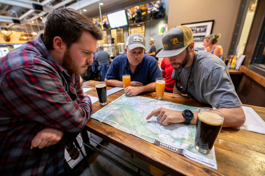
In the morning we did a final check of our gear before making a trip to the Scheels sporting good store to gather the final supplies. Off we went, up and over the Beartooth Pass on our way to Cooke City and the Russel Creek trailhead.
Day 1: Russel Creek Trailhead to Russel Lake
The first six miles of trail are through a dense forest of lodgepole pine and spruce. Winding and following Russel Creek it’s a slow and steady slight uphill on to our first camp of the trip. At a mile and a half we pass by Kersey Lake, the first of nearly 20 lakes we’ll pass over the next four days. Just a little over six miles in and we make it to Russel Lake, our first campsite of the trip. With plenty of camping sites and not a soul around, we spread out a little and rejoined for dinner by a small campfire. The milky way came out to play and our eagerness to photograph the stars was evident by watching us light paint the mountain walls around.
Day 1 mileage: 6.4
Day 2: Russel Lake to Dewey Lake
Our biggest climb of the trip takes us up and over the crest of the Beaten Path on day two, and we knew it’d be all downhill from there! We set out from camp under sunny skies and a morning chill in the air. Switchback after switchback we worked our way up until making it to Ouzel Lake at just under two miles from Russel, a relatively small lake for this hike, but what it lacks in size it makes up for it in beauty. James couldn’t resist a dip and was even nice enough to make a number of dives as the rest of us took pictures.
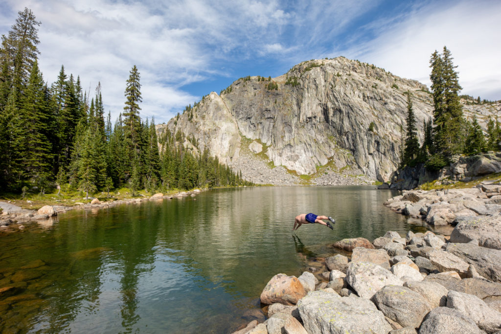
Cooled down and ready to keep climbing we continued our journey up, dancing with joy as we saw a rock cairn marking the crest three miles from Ouzel. This cairn lies right around the middle of Fossil Lake, a massive lake that sits at high in the alpine of the Beartooths. It’s a stunning sight and we chose to drop packs and make our lunch. As we ate a few large thunderheads moved in and we chose to quickly pack our lunches and head for the cover of trees and lower elevations. Good timing as the storm hit quickly after, fairly standard for the Beartooths.
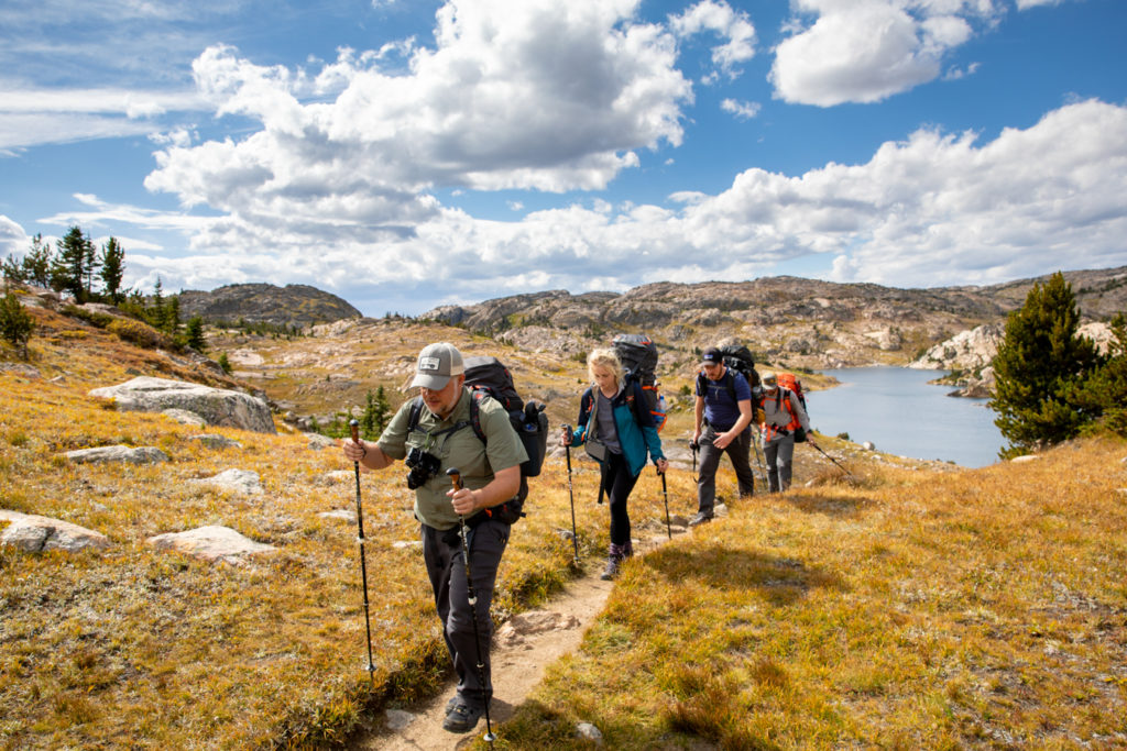
Starting at Fossil Lake and going until Twin Outlets lake there is a fire ban, although camping is allowed. Our original intention was to make it out of the fire ban, but upon reaching Dewey Lake there was no way we were going to pass up camping at such a stunning location. We decided to prioritize these views over having a fire, and it paid off as a stunning sunset bounced off the high granite walls. The sunset was quickly replaced by storm clouds as a massive thunderstorm had us eating dinner to the sound of heavy rain and lightning.
Day two mileage: 7.1
Total mileage: 13.5
Day 3: Dewey Lake to Rimrock Lake
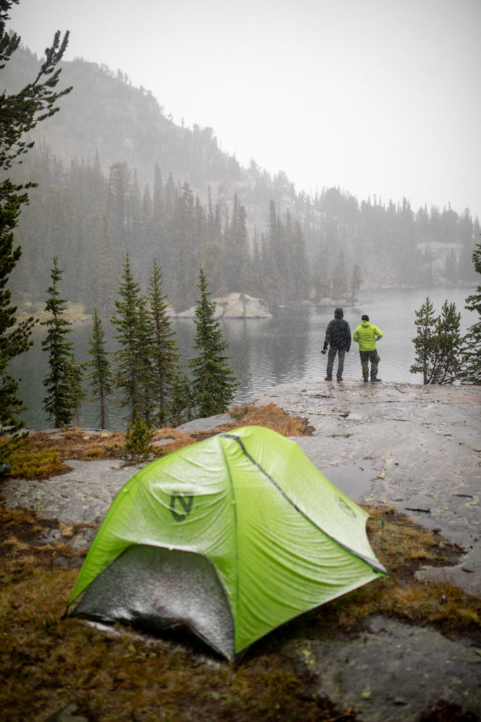
My alarm was set to crawl out of my tent for sunrise, but the familiar sound of rain was hitting my tent. There was a noticeable drop in temp overnight and the warmth of my tent was too relaxing, so I turned off my alarm and enjoyed another hour of sleep. Eventually, I did crawl out as I heard the stir of others in camp. Coffee was made along with breakfast as the rain turned to snow. We combatted the snow by pulling out our local whiskey and adding our own warmth to the morning cup of coffee. This storm had been predicted and we were prepared with plenty of waterproof and warm clothes, so we enjoyed the storm and a leisurely morning in camp waiting for the snow to lift.
Shortly after lunch, we realized this snow wasn’t lifting, and we needed to get moving or risk setting up our next camp in the dark. We bid farewell to Dewey and hit the trail. Quick hiking was made easy by the low clouds keeping our desire to take photos at bay and we scooted past countless lakes before the clouds broke.
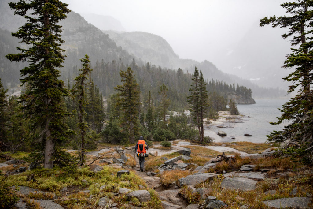
The final mile to Rimrock Lake takes us past one of the most beautiful lakes of the entire journey, Rainbow. This might have been the slowest mile of the trip as we found ourselves stopping to take photos every five steps.
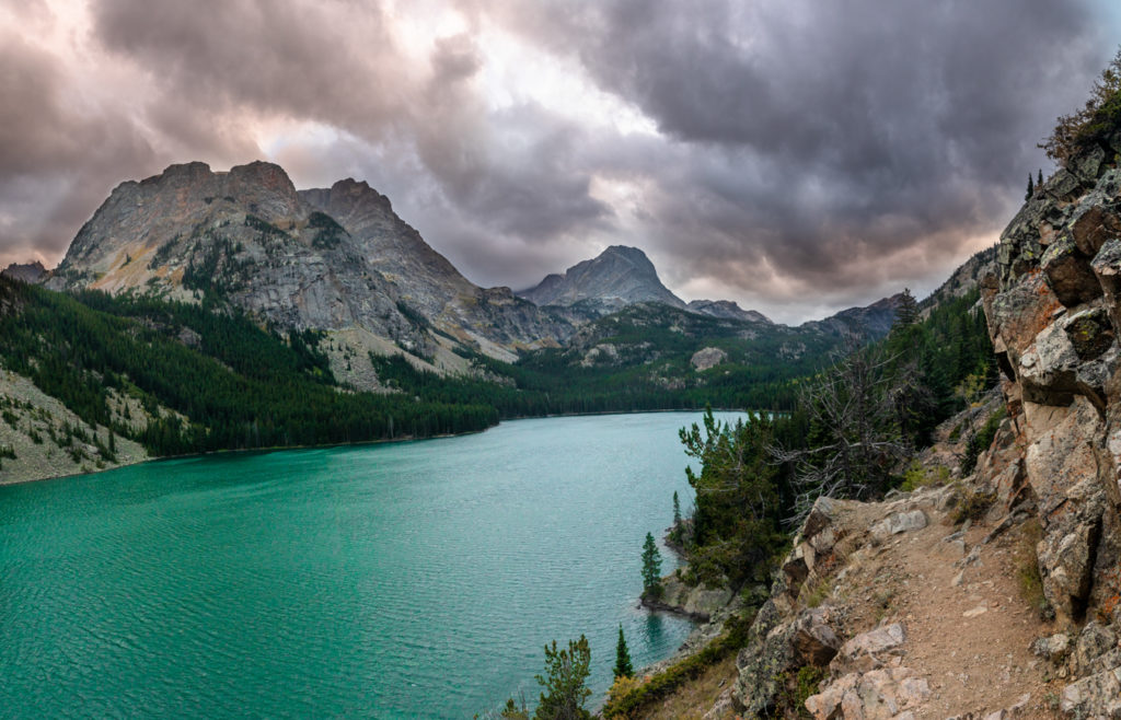
Finally making it to our final night’s camp spot, Rimrock Lake, was a real treat. The weather broke to clear skies and a faint sunset as we laid out our tents to dry before reassembling them one last time. After a day of snow and no campfire the previous night, we were excited to be back out of the fire ban for a night of stories, cigars, and a desire to never leave these mountains to return to civilization.
Day three mileage: 8.8 miles
Total distance: 22.3 miles
Day 4: Rainbow Lake to Margaritas
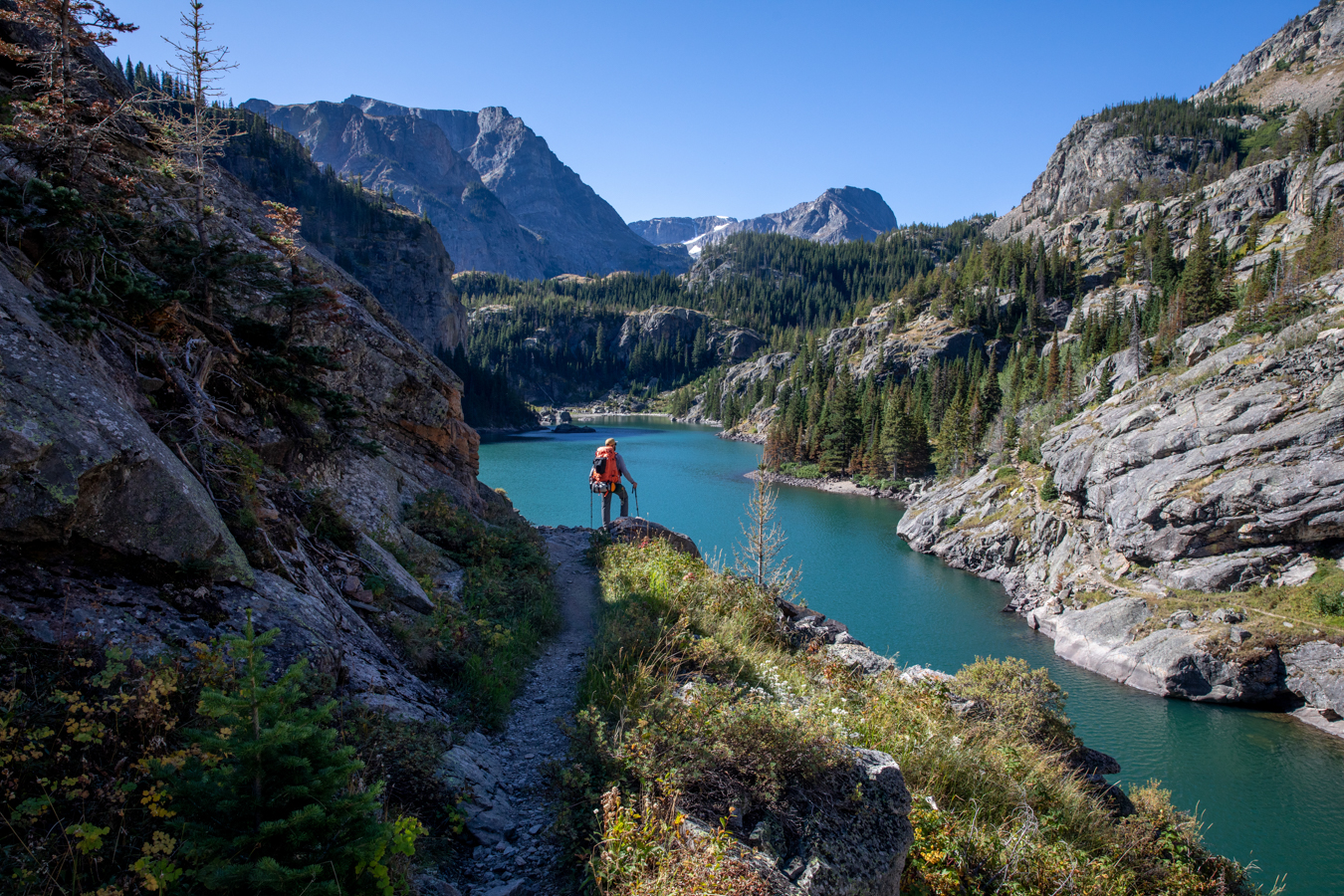
The final six miles is easily the most scenic (and most popular for day hikers) as the trail cuts through the East Rosebud drainage and the most unbelievable granite towers and cliffs. You’d be hard-pressed to find a more scenic section of trail anywhere in Montana. As we hiked around Rainbow Lake, the blue water was almost blinding as the weather was finally on our side. 24 hours earlier we were fighting snow and cold, and now we were fighting sunburns… and that’s totally normal in these mountains!
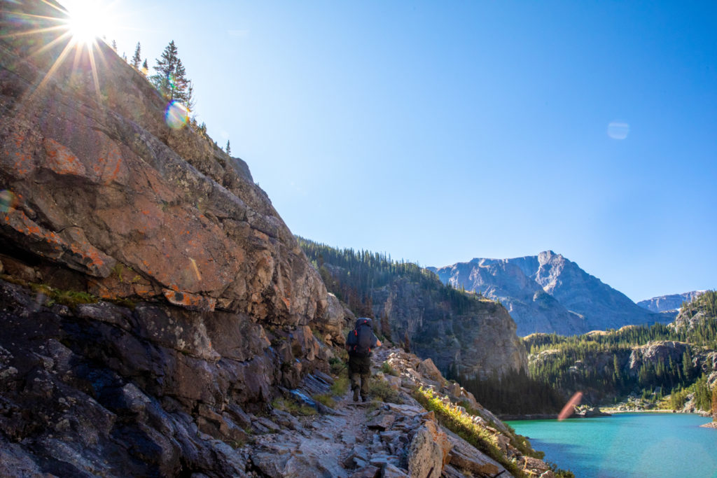
We powered past Elk Lake and the stunning waterfalls of East Rosebud Creek until our first sight of civilization came into view. Making it back to the car was a bittersweet end to the perfect four-day hike and a dang fine crew to boot.
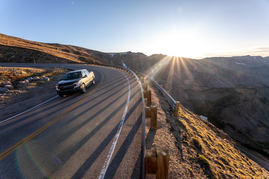
Sweaty and smelly we piled into Colton’s 4Runner and headed for Red Lodge and Bogart’s famous margaritas. After filling up on real food we journeyed back over the Beartooth Pass to pick up James’ truck and then back over the pass one last time bound for Billings and sleep in a real bed.
Day 4 mileage: 6.2 miles
Total Mileage: 28.5 miles
This was my second trip doing the entire Beaten Path, although I can’t count the number of trips I’ve taken up the East Rosebud Drainage and it never gets old! To this trail it’s never a good-bye, only a see you next time! A huge thank you goes out to my crew, as well as Visit Montana for hiring us for this amazing shoot.
Happy Adventuring,
Andy Austin
Follow me on social media (or just follow me around in real life if you want, but it’s kinda creepy)



Leave a reply
You must be logged in to post a comment.